Underground survey
Our expertise in underground services location ensures your projects are safe, efficient, and compliant with industry standards.
Get a quote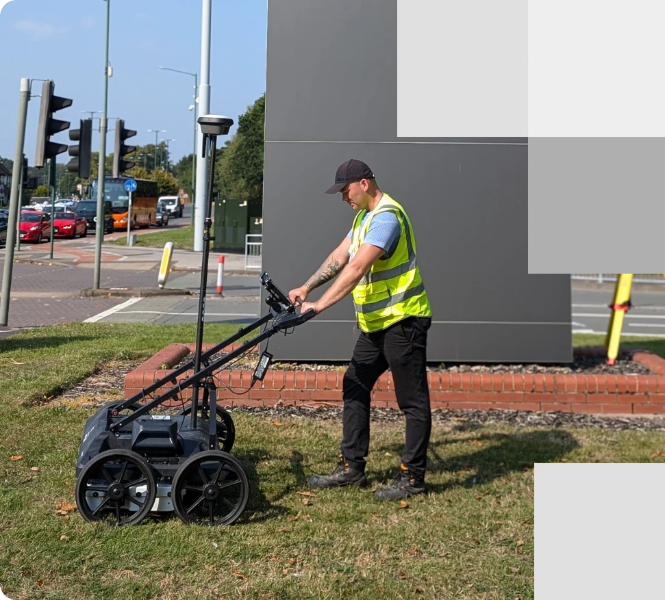
A utility surveyor using GPR equipment conducting an underground survey to detect utilities
About our underground survey
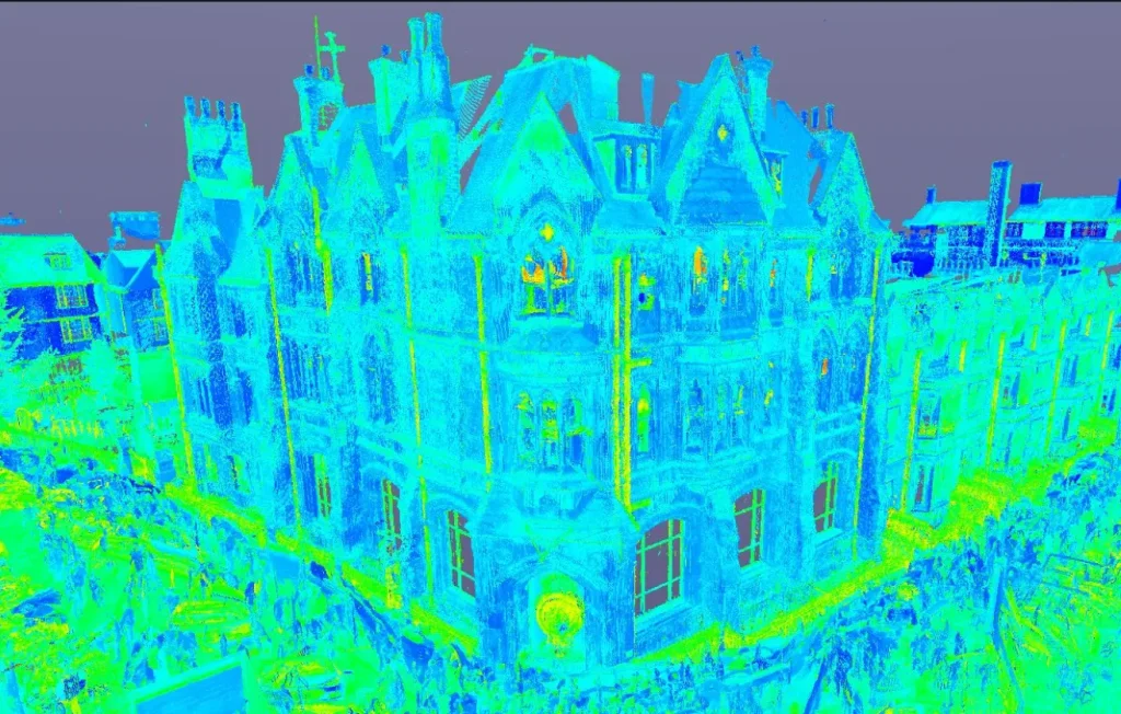
Delivering precise underground survey and utility mapping
At Red Laser, our team is committed to delivering reliable data about underground services location, subsurface features and their conditions to support informed decision-making. We identify and measure subsurface structures and features, including voids and buried utilities such as gas mains, water lines, and communication cables. All our underground surveys are conducted in strict compliance with PAS128 standards, ensuring the highest level of accuracy and reliability.
Our underground surveys services
We offer a comprehensive range of underground and utility survey services, including:
Utility surveys
Identify and map underground utilities to prevent disruptions and ensure safe project execution.
CCTV drainage survey
Conduct thorough inspections using CCTV technology to identify conditions, blockages or damages in drainage systems, preventing future complications.
GPR surveys
Utilise high-quality Ground Penetrating Radar (GPR) equipment to detect subsurface anomalies in a non-intrusive manner, providing precise data for your project.
Concrete scanning
Perform detailed scans of concrete structures to locate embedded reinforcements, ensuring safety and efficiency of construction actvities.
PAS 128 survey
Following PAS128 standard for underground utility detection, delivering reliable and standardised underground survey results.
Culvert inspection and cleaning
Inspect and clean culverts to ensure proper drainage and prevent blockages that could lead to flooding or structural damage.
Benefits of our underground surveys
Our underground surveys offer critical insights that minimise risks and streamline projects. By providing accurate subsurface data, we help you avoid costly delays and ensure compliance with safety regulations.
- Improve project efficiency by providing accurate subsurface data
- Prevent issues with striking utilities during excavations
- Enhance overall project safety by identifying potential hazards
- Prevent interference with existing utilities during the planning and design stage
- Reduce project delays and design changes
- Assist in the proper allocation of resources and materials
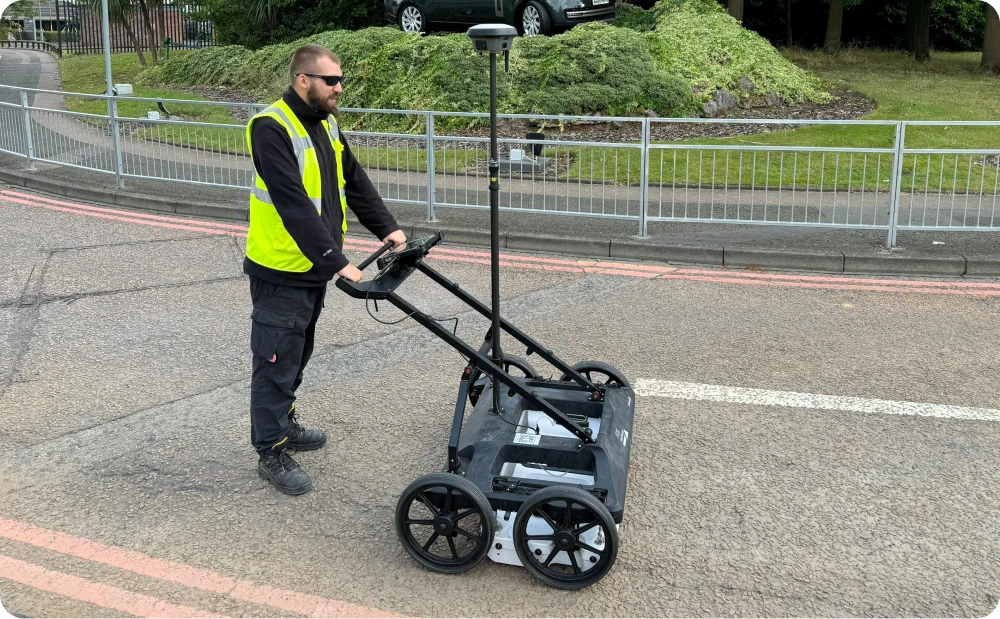
A surveyor using GPR and GPS technology to conduct an underground survey
Contact Red Laser for professional underground scanning services
We are here to safeguard your project, enhance efficiency, and maintain a safe working environment.
Applications of underground surveys and utility mapping
Our 3D underground survey services cater to a wide range of projects and industries
By delivering accurate subsurface data and underground services location, we enhance the success and safety of your projects across multiple sectors. With our extensive experience in diverse project types and industries, we are committed to providing our clients with optimal results.

Dedicated underground survey department
Leading the way in underground scanning
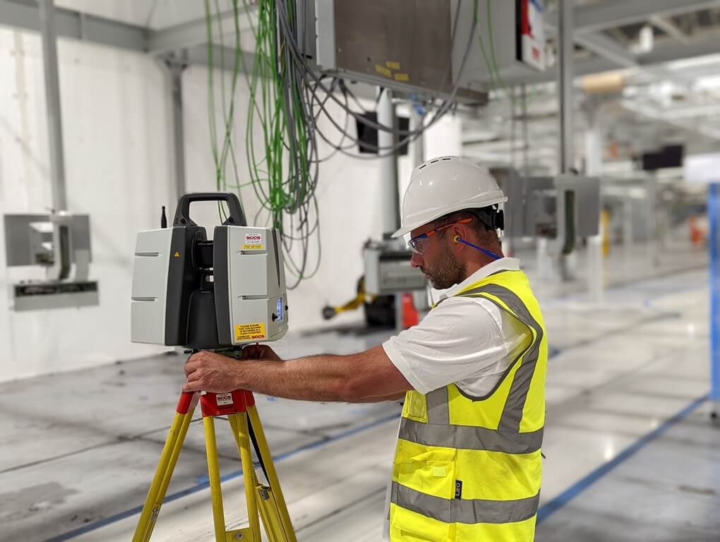
At Red Laser, our underground survey department is dedicated to delivering precision and expertise in underground scanning. Our team leverages advanced 3D technology and extensive industry experience to provide underground surveys services for professionals in architecture, construction, facility management, engineering, real estate, and heritage sectors. Equipped with latest technologies such as Ground Penetrating Radar (GPR) and 3D laser scanners, we ensure accurate and reliable results.
Our specialists are certified in PASMA, PAL, and CSCS, and are trained in harness safety and asbestos awareness, reflecting our commitment to safety and compliance with industry standards. Our ability to handle complex projects with reliability and precision has earned us the trust and satisfaction of our clients, many of whom return for our expertise on subsequent projects.
Book your underground survey with confidence
Expert solutions in underground surveys and utility mapping
Our specialist team delivers all types of underground survey projects across London and the UK. With advanced technology and years of experience, we handle even the most complex projects with confidence. Our efficient and cost-effective underground scanning solutions have earned the trust of our clients, leading to continued partnerships.
Get a quote“Thanks so much to you and the team. Fast and fantastic service. I am really appreciative for that.”
Our case studies
See how we’ve helped clients achieve their goals with reliable surveying and geospatial solutions
Start working with us
Partner with Red Laser for a confident project launch

What is an underground survey?
Underground utility surveys focus on detecting, locating, and verifying all statutory services and other subsurface structures and features. This non-intrusive survey minimises the disruption and exposure to buried hazards while accurately recording underground utility features and locations.
Why would you consider doing an underground mapping survey?
Avoid excessive excavation and the modification of grounds and sites. Our experienced surveyors use the latest electromagnetic scan, Ground Penetrating Radar and their expertise to identify the subsurface environment and features when underground mapping. Our utility surveyors will identify all of the below features for a smoother process.
What is the process of Ground Penetrating Radar (GPR)?
This equipment works by transmitting a pulse into the ground, which is recorded on site. The strength of the signal is transmitted back to the GPR unit and is translated into images of the objects underneath the ground.
How does your team conduct underground mapping services?
Our team of experienced surveyors uses the latest underground surveying equipment to identify and produce highly accurate data on the subsurface environment to provide the vital details needed for your project planning including buried objects, infrastructures, layers under the ground, and services.
What are the expected results from an underground mapping survey?
Our team of experienced surveyors uses the latest underground surveying equipment to identify and produce highly accurate data on the subsurface environment to provide the vital details needed for your project planning including buried objects, infrastructures, layers under the ground, and services.
What deliverables will you receive?
What are the limitations of underground surveying?
Depending on the depth and the type of utility being surveyed, underground mapping also has limitations, such as accessibility. That is why our team ensures that all means and efforts are executed using a range of techniques and tools to provide satisfying results.
