Topo survey: Applications and benefits
Understand the role of topo survey across various sectors, including design, planning, construction and environmental management.
In the dynamic field of land development and urban planning, the topographical survey stands as a cornerstone process. Often known as a land, terrain, or topo survey, it’s a vital tool for many professionals, including architects, civil engineers, and planners. In this comprehensive guide, we dive deep into the world of topo surveys, discussing its definition, applications, methodologies, and the comprehensive services provided by the Red Laser team.
A topographical survey is a precise method of detailing the physical features of a land area. This process entails recording and measuring both natural and man-made elements and their respective elevations. It is delivered as accurate representations of the land in the form of CAD drawings, contour maps, and 3D models. Records can contain permanent features such as buildings, fences, trees, and streams, and a clear picture of the site, land and its boundaries.
Depending on the specific needs of a project, topographic surveys can vary in complexity and detail. These detailed deliverables can reveal comprehensive features essential for accurate planning and development.

It is essential in several scenarios, including the following:
While most commonly associated with construction and urban planning, topographic surveys have broader applications. They are crucial in environmental conservation, archaeological studies, and disaster management. By providing a detailed layout of the land, these surveys help in the preservation of natural habitats, the uncovering of historical sites, and the formulation of effective disaster response strategies.
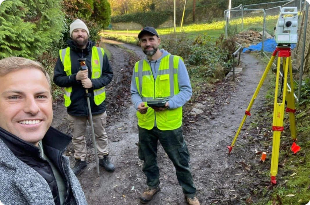
Partner with Red Laser for comprehensive survey services that will provide the clarity and accuracy you need to make informed decisions and achieve optimal outcomes.
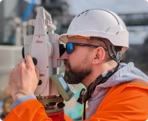
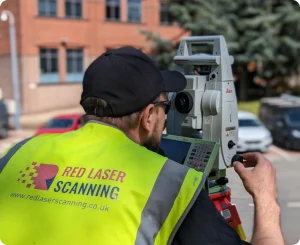
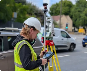
Experienced topographical surveyors carry out site inspections using advanced tools like GPS and total stations, after this data is transformed into detailed drawings to represent the surveyed features accurately. At Red Laser, our surveyors use the latest technology GPS, total stations, and UAV drones. This ensures that our measurements are precise and reliable.
Our team’s expertise in various projects and the specific needs of the clients ensures that our deliverables are not just accurate but also tailored to each project. From residential to industrial sites, our approach always focuses on precision and reliability from residential to industrial sites.
We integrate advanced technology, such as 3D modelling and drone inspections, enabling us to capture comprehensive data and create highly detailed and accurate site representations. This is particularly beneficial in complex environments where traditional methods may fall short.
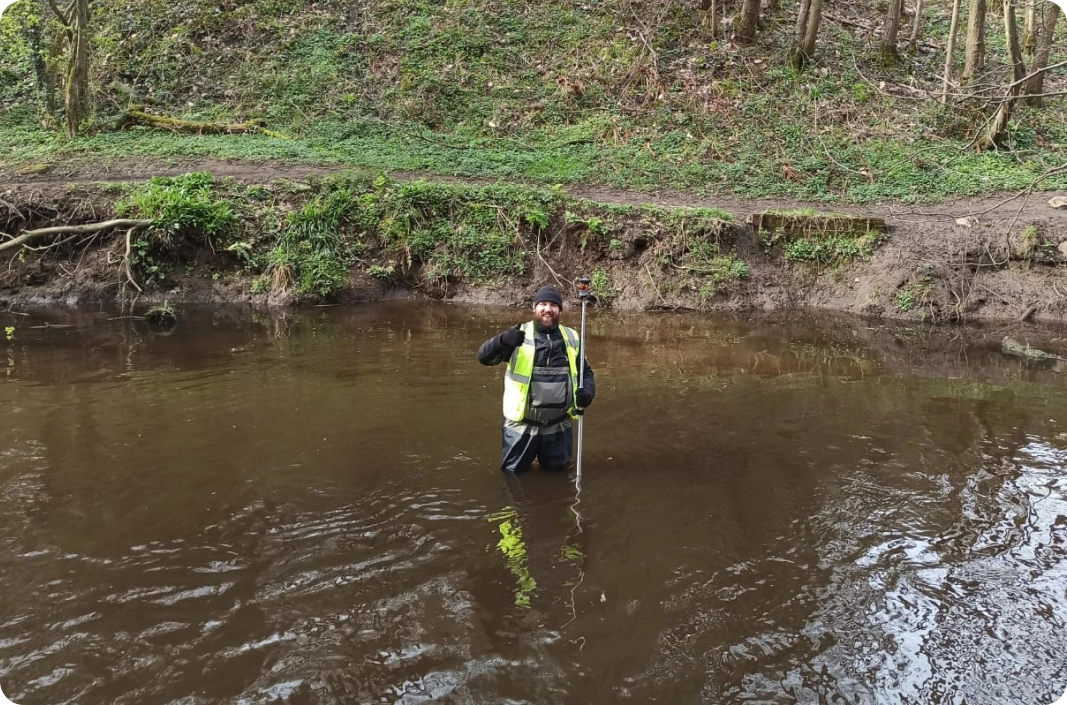
Topographical surveying can present various challenges, including dealing with difficult terrains, ensuring accuracy in dense urban areas, and managing large-scale projects. Our team at Red Laser is equipped to tackle these challenges head-on, using a combination of expertise, experience, and advanced technology. That’s why we work closely with our clients to plan every project properly to ensure we overcome challenges and deliver excellent results every time.
Conducting surveys involves adhering to various regulations and safety standards. Our team is committed to maintaining the highest levels of compliance and safety, ensuring that our surveys meet all legal requirements and protect both our staff and the environment. Each project comes with extended Risk Assessment and proper team induction.
At Red Laser, we often strategically combine services, such as drone inspection and measured building and underground surveys, to comprehensively understand a project site.
A measured building survey offers detailed information about the internal and external aspects of buildings, including floor plans, elevations, and cross-sections, which complement the external landscape details captured in a topographical survey. This combination allows for a complete overview of both the existing structures and the terrain they sit upon, facilitating precise planning and design.
On the other hand, underground investigations provide crucial data about sub-surface features like utility lines, drainage systems, and geological formations. When integrated with topographical data, these insights enable a multi-dimensional view of the project area, highlighting potential challenges and opportunities that lie both above and below ground.
This holistic approach is particularly beneficial in urban development, infrastructure projects, and environmental management, where understanding the interplay between various elements of a site is key to successful project execution. By combining these services, developers and planners can make more informed decisions, ensuring efficiency, safety, and regulatory compliance in their projects.
Choosing the right team for your project is crucial. At Red Laser, we pride ourselves on our technical expertise, customer-focused approach, and commitment to delivering high-quality, reliable surveys. With our experienced team and advanced technology, we are your ideal partner for all your surveying needs.