Topographic surveys for design and construction projects
Explore the benefits and applications of topographic surveys, and learn how they help avoid mistakes in construction and development projects
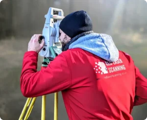
At Red Laser, we specialise in providing professional surveying services powered by the latest 3D laser scanning technology. Our work includes measured building surveys, topographical surveys, CCTV surveys, GPR, and roof surveys. Using high-quality tools and advanced software, our experienced team delivers precise plans and detailed 3D models that support a wide range of architectural and construction needs. We will explore total stations, their functions, benefits, and how they play a key role in the surveying work we carry out for our clients.
Total station technology has significantly transformed the surveying industry, streamlining processes and enhancing the accuracy of data collection. Whether you’re working on a small-scale architectural project or a large infrastructure development, using a total station ensures you receive precise and reliable measurements every time.
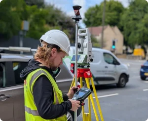
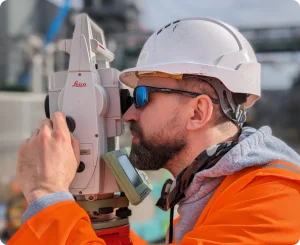
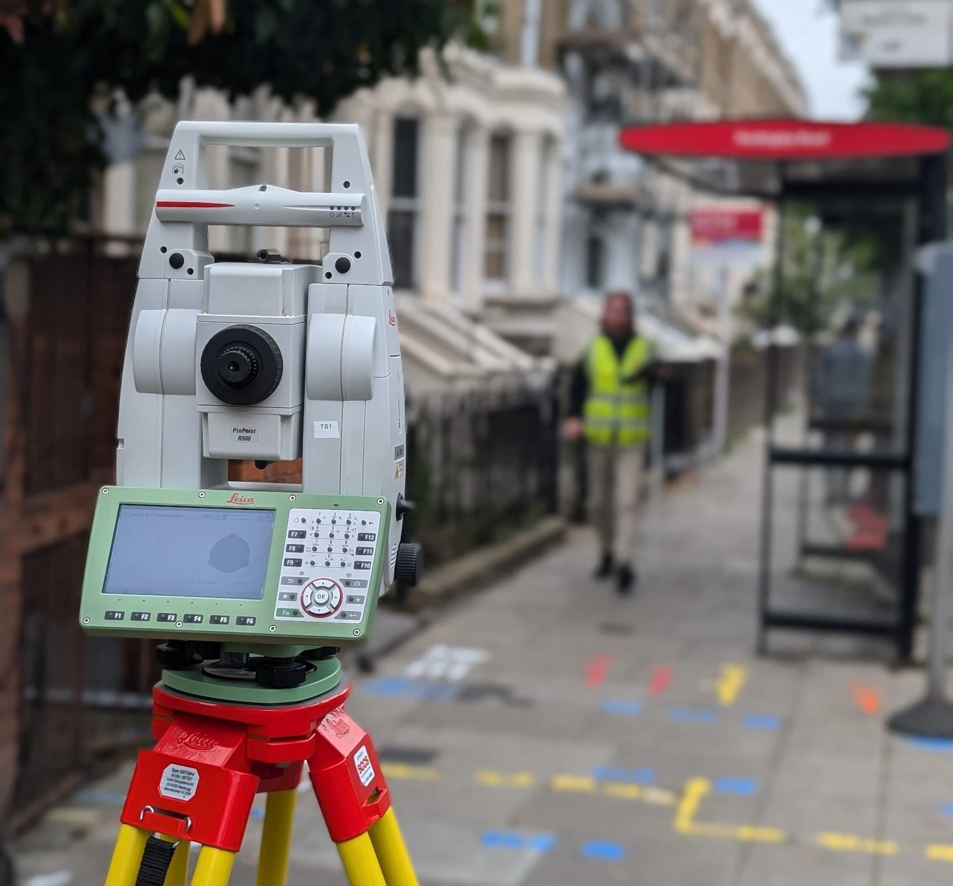
A total station is a surveying instrument that combines an electronic transit theodolite with a distance meter. It measures vertical and horizontal angles, as well as slope distances, providing precise data for construction and land surveys. A survey with total stations has become a crucial surveying instrument when providing accurate and precise results for measuring and mapping existing buildings and sites. We use the total station instrument from the well-known and trusted brand Leica, mainly for our topographical survey and setting out services and more. The choice between instruments is determined by the level of visibility of the terrain features and required coordinate system, which the total station will usually provide in the majority of the cases.
With a total station, surveyors can achieve a level of precision that was previously difficult with traditional surveying equipment. These devices have built-in processors that automatically compute coordinates and angles, eliminating human error. The integration of high-tech optics and digital data processing has made them indispensable in modern surveying and engineering projects.
At Red Laser, we work with industry-leading surveying technologies to deliver accurate, efficient results across construction, geospatial, and infrastructure projects. Our goal is to ensure every survey is completed with precision — on time, and on budget.
We specialise in delivering accurate, customised geospatial data for construction, architecture, and infrastructure. Contact us today to learn more
What is the total station in surveying and why use it to complete your measured surveys? Total stations are simple to set-up with the application of laser plummets. This is done quickly with the setting of the instrument on a stable tripod. Save the time of work on the field as the accuracy of the measurements is higher than other surveying instruments.
The data collected by the total station in surveying is easily downloaded into your computer or laptop when processing the information. It allows a straightforward and simple process to produce the deliverables required for our project, creating a clear journey to implementation and managing. Ultimately, you will receive accurate, reliable and assured measurements as it measures angles and distances electronically, processing trigonometrically to supply the position coordinates in space. This leads to fewer mistakes and the reduction of rework for any errors in the long term.
Our experienced surveying team provides a solution with greater productivity and better quality assurance, improving the delivery of as-built data such as 2D drawings and 3D BIM-ready models for faster and quicker completion.

Total stations are highly versatile instruments widely used in various fields due to the range of functions and accuracy they offer. In the field of surveying, total stations play a crucial role, especially in topographical surveys, where they are primarily used to measure and record natural and man-made features of the landscape. These measurements help in creating detailed maps and models of the terrain.
One of the key applications of total stations is in construction and land development, where they are used to set out features such as property boundaries, roads, buildings, and other infrastructure elements. Their ability to provide precise angle and distance measurements makes them essential for ensuring that construction aligns with design plans.
Additionally, total stations are particularly useful in archaeological surveying, where they are employed to document excavation sites accurately. They help in recording slant distances, elevations, and calculating exact positions of artifacts and features, preserving spatial information that is critical for historical analysis and reconstruction.
Because they combine the functions of an electronic theodolite and an electronic distance measurement (EDM) device, total stations provide high efficiency, accuracy, and digital data collection, which makes them indispensable tools in modern surveying, engineering, and archaeological documentation.
Using total stations, we carry out precise and reliable surveys that help you plan, design, and build with confidence. From capturing detailed site measurements to setting out boundaries and structures, we make sure everything is done right – the first time.
We also use the latest technology, including 3D scanning and smart data tools, to bring you the highest level of accuracy and efficiency.
As one of the UK’s leading 3D laser scanning companies, we offer tailored solutions such as as-built 2D drawings and detailed 3D BIM-ready models. Just let us know what you need – and we’ll deliver.